The first written testimonies about an aqueduct were provided by U.J. Seetzen, who was told on his travels by the “Kanatir”, and who also saw remains of them while crossing this landscape. Mainly, he meant the celestially remains of the aqueduct, which run through the landscape between Dilli and Deraa.
With an average height over terrain of 2m, interrupted by up to 9m high bridges and arches, the aqueduct overcame the wadis on this path. The sub-sections of the aqueduct, which were constructed without arches for long distances, consisted of 2 shells of regular basalt masonry with an Opus Cementium infill, in which unhardened stones were laid. As a rule and for efficiency reasons, bows were erected from 2.5m clear height. Thus, not only material was saved, but also passages for livestock, transport and water could arise.
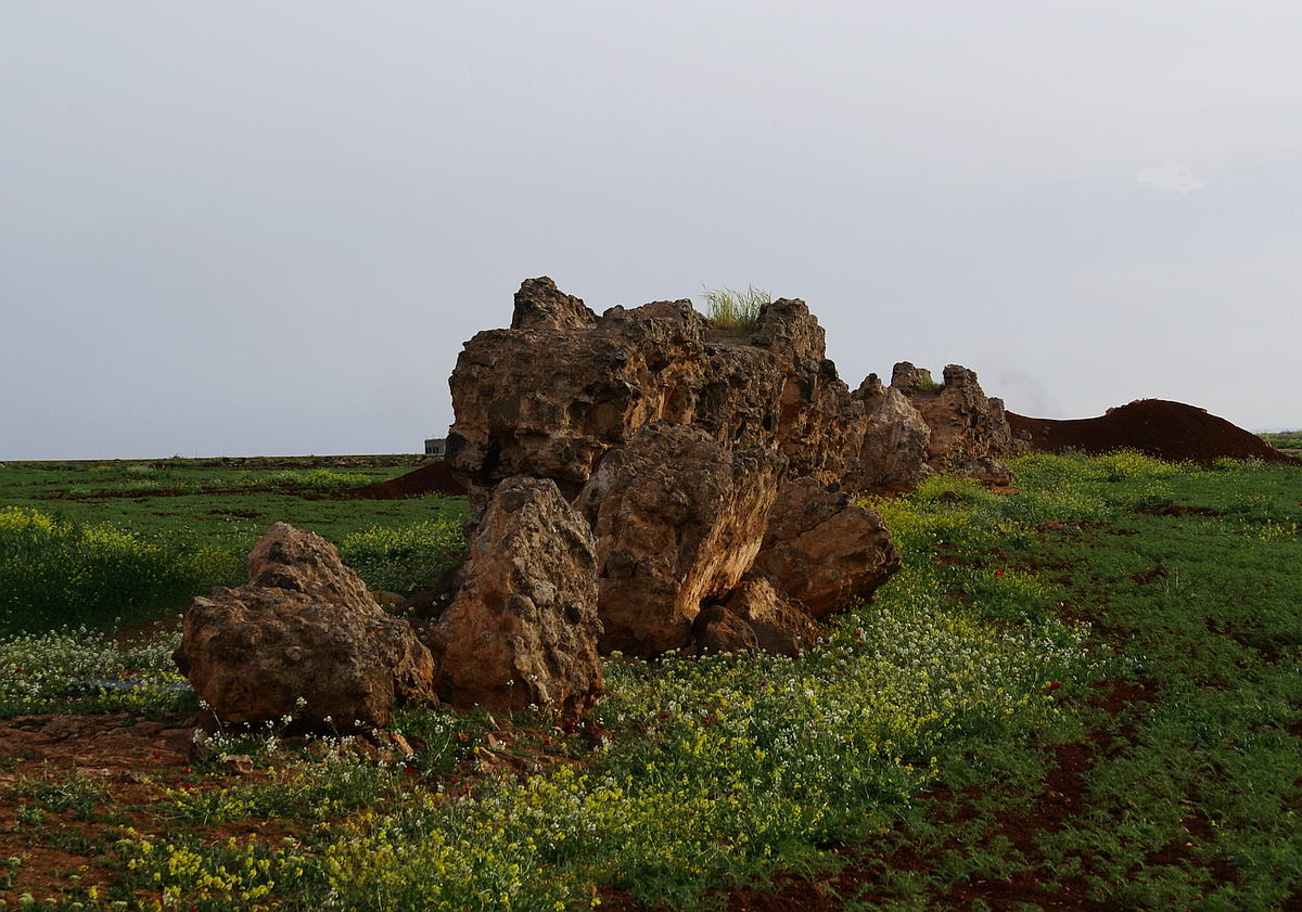
Large areas of the substructures have completely disappeared in the last 100 years; and also had to give way to agriculture. In the period of 2004-2010 alone, which I was able to compare on the spot, several hundred meters of the old structure were completely removed or pushed together to large cairns by bulldozers. The building on the left picture still used the aqueduct substruction for one of its foundation walls. As can clearly be seen on the current satellite imagery, even all buildings do not exist anymore, presumably because of the civil war. There you can only see blasted and scattered ruins.
This underlines impressively the current situation around the population and also the ancient cultural treasures in Syria, which make us think very deeply.
Further south, the Qanat Fir'aun leads…, you will get more information about the following bridge here here.
