The "Limitatio" of the Qanat Fir'aun,
has required a detailed knowledge of the area, excellent knowledge of planar and sphaeric geometry, as well as the most up-to-date surveying equipement and techniques of this time. The Qanat Fir'aun was built with such high precision that today's construction companies would immediately declare "concerns" when commissioned regarding the required accuracy. It was not only a line chosen that usually did not keep the next construction shaft in the field of view, but there where almost all in the area lying sources included. These are at least 15 sources, whose altitude and distance in the former "aqueduct coordinate system" must have been known.
This required a complex planning of real lengths and a real gradient in the mainly subterranean aqueduct route. In many cases, the sources were only a few meters higher, than the belower crossing aqueduct line. Isolated side channels and Qanats were created to bring in the water of the springs and feed the aqueduct. In other regions of the Roman Empire, the aqueduct builders also used side outlets with overflows from rivers.
For the planning and construction of this unique engineering structure, the often common idea of the use of a chorobat, a groma, or more simple methods is not applicable. The inevitable mistakes would have continued to add up without any possibility for correction. It would be equally unimaginable to work with a chorobate, and not just in terms of the geology and topography of the mountain slopes.
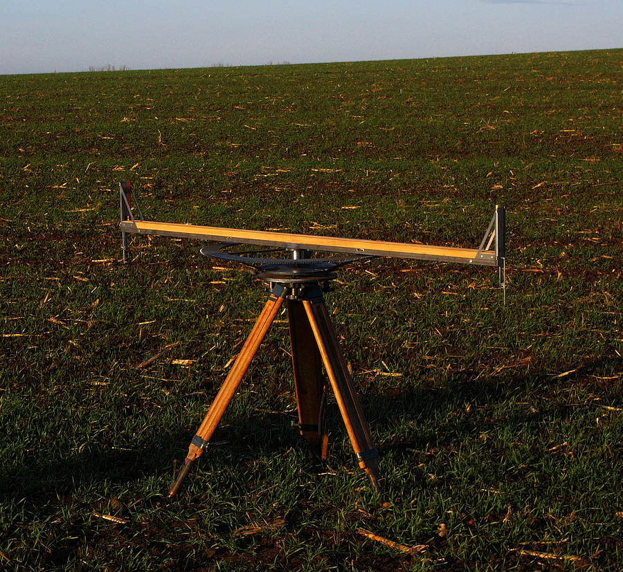
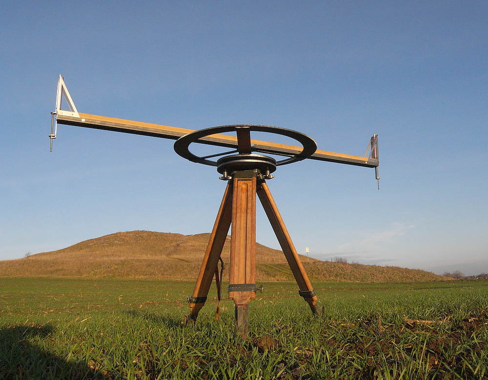
For an exact preliminary planning an exact fixed point network was absolutely necessary. The most modern measuring devices of the time were certainly used for this. The Using of the Dioptra, as described by Heron of Alexandria (also Hipparchus and Ptolomaeus), were certainly established as early as the 6th century BC. This offered the only possibility here. The established working methodology in simultaneous construction lots, not only accelerated the work, but in reverse order this required a high accuracy to fit the seperate sections with each other. For this purpose, an exact advance planning and stakeout with the corresponding specifications to be complied with was mandatory. The planners and surveyors definitely had to include the curvature of the earth to help with this approach. Normal tangential stakeouts, that means without the curvature of the earth, would have made the construction and even the planning impossible.


Now, the gentle reader might say, "If the next point is deeper or at least equal, then the water will flow and the curvature of the earth does not matter." But this opinion is erroneous, sometimes the topography did not even allow 50m long lines of sight a simple "getting down" staking was impossible. The then necessary implementation and juxtaposition would undoubtedly have led to high cumulative errors. To construct the Aqueduct line in reverse Direction from his end, the Nymphaeum / Water Distributor, to his beginning would also not have been possible, due to the faulty values of the simpler methods.
In many tunnel areas has been determined by the hammer scratched marks along the walls, that it was worked in both directions. In the case of the length until the next construction shaft, the curvature of the earth was negligible. However, an exact stakeout and height transfer to the construction areas underground was essential, because of the many compulsory points (sources) to be reached.
However, a correction value to be used according to the distance from the last staked point had to be ideally subtracted from the measured values.
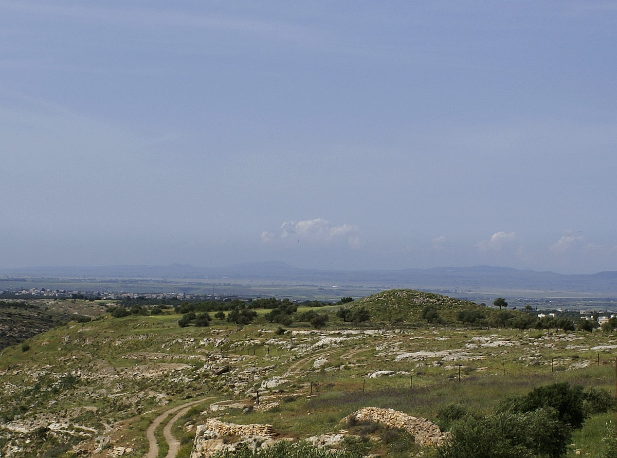
The best way to illustrate this is the following: You stand on a mountain and look down with your head slightly tilted on a plain with a river. The first thought "Water does not flow uphill", but the thought is not quite right. If the point caught in the eye is only far enough away, it has disappeared through the curvature of the earth and may still lie on a plateau from which the water can flow up to us on the mountain. (For this, our imaginary mountain with a view must of course be with the Plateau connected and not intersected by a deep valley !!)
In the picture you can see the artificial hill called "Rujm Adaam" on 420m asl. The plain in the background in front (below!!) of the Golan hill range is over 500m asl.
